

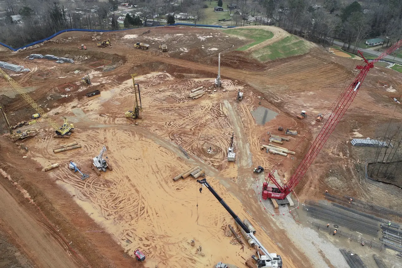
02 · Drone Survey & Geospatial
Aerial data, turned into decisions.
Drone-enabled survey, mapping and thermal inspection with deliverable-driven outputs for planning, monitoring and asset health analysis.
Overview
Survey intelligence built for engineering use: GIS-ready outputs, measurement sheets and structured reports aligned to your tender requirements.
Our geospatial team plans, flies, processes and reports, so the data you receive slots directly into design, DPR preparation and progress monitoring.
- SurveyTopographical survey & mapping
- LinearCorridor mapping for road, rail and utilities
- InspectionThermal inspection of infrastructure and industrial assets
- LiDARLiDAR mapping, where applicable
- ReportingDPR support: survey outputs, maps, drawings and reports
Deliverables
What you receive.
Outputs are agreed at the scoping stage and formatted for your engineering and reporting workflows.
| Output | Description | Typical use |
|---|---|---|
| Orthomosaic | Georeferenced, high-resolution aerial map of the survey area. | Site planning, layouts and progress comparison |
| Contours & terrain | Contour lines and terrain surfaces derived from survey data. | Design, drainage studies and earthwork estimates |
| 3D models | Photogrammetric models and point clouds; LiDAR where applicable. | Volumetrics, visualisation and as-built review |
| Thermal insights | Thermal imagery of assets with annotated observations. | Infrastructure and industrial asset health checks |
| Corridor maps | Continuous mapping along road, rail or utility alignments. | Alignment studies and linear project planning |
| DPR inputs | Survey outputs, maps, drawings and reporting formats. | Detailed Project Reports and tender documentation |
Method
From flight plan to final report.
A repeatable workflow keeps every survey consistent, traceable and fit for engineering use.
Scope & flight planning
Area, deliverables and site conditions are confirmed, along with the permissions required for the site.
Field data capture
Survey flights and, where needed, ground control and field verification by our survey team.
Processing & QA
Imagery is processed into maps, models and thermal outputs and checked before release.
Delivery & reporting
Deliverables are handed over in agreed formats, with reports aligned to your requirements.
In the field
Survey teams and aerial platforms.
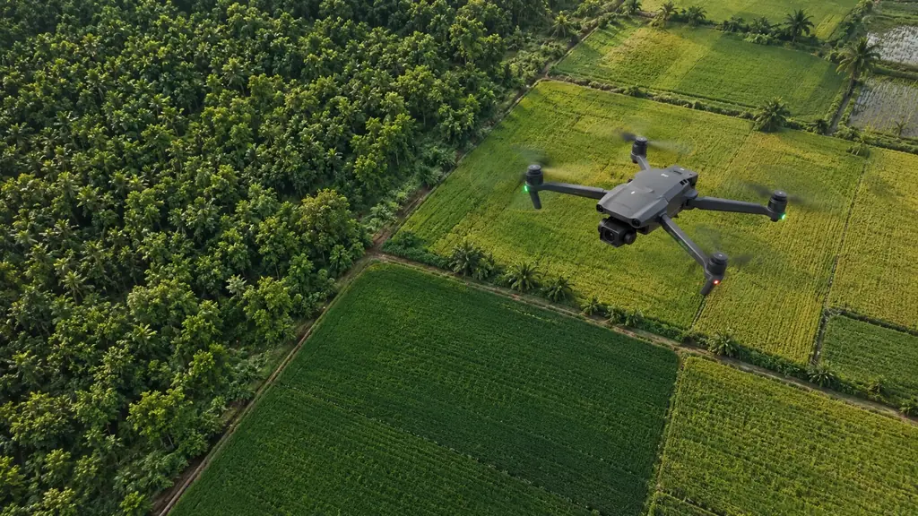
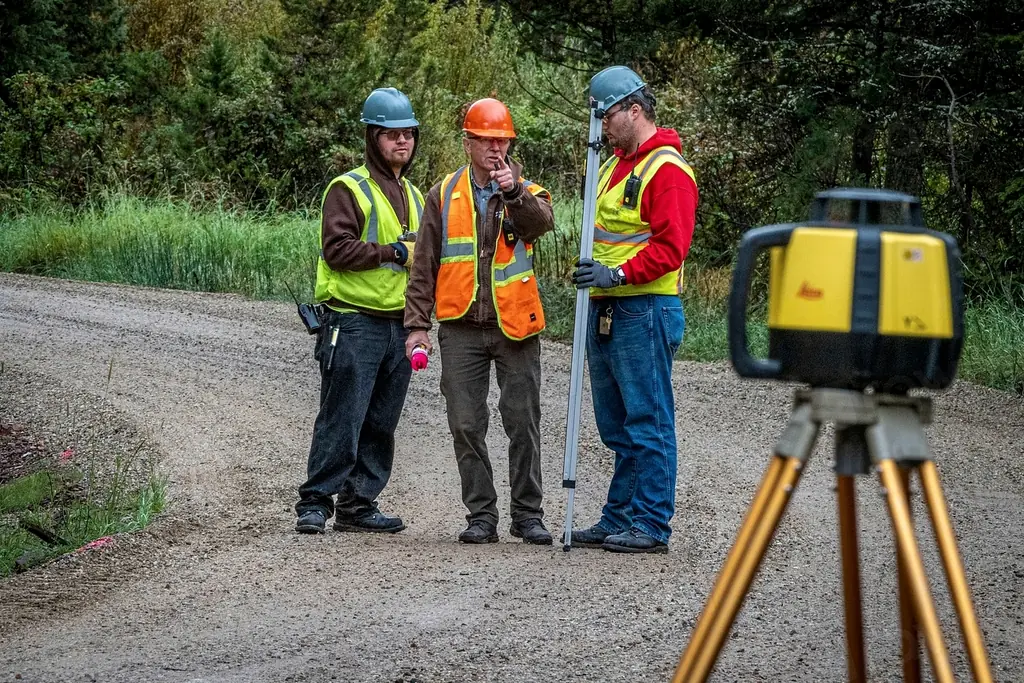
Ground teams and drone operations work together, from ground checks to aerial capture over fields, sites and corridors.

Applications
Where survey data adds value.
- Road & rail alignments
- Utility corridors
- Site planning & layouts
- Construction progress monitoring
- Earthwork & stockpile volumes
- Solar & electrical asset inspection
- Industrial plant inspection
- Agriculture & land mapping
- Mining
- DPR preparation
Project experience
Drone Survey, Mapping & DPR Inputs
Survey, mapping and thermal inspection for an enterprise client in Northeast India, delivered as a complete report pack.
All projectsDrone & Geospatial
Plan a survey with our geospatial team.
Tell us the location, approximate area and the deliverables you need. We will confirm the approach and timeline.